Adventures in Geocaching, Part 5

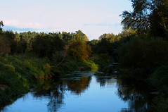
Saturday was another bright & sunny day, so we headed off to Thetford Forest to try & find some more geocaches. We sort of misjudged the times, we’d originally planned to have lunch at home but then realised it would take longer to drive there than we’d thought so left earlier with a plan of getting lunch somewhere near Thetford. Which was successful, but perhaps taking a picnic lunch and leaving even earlier would’ve meant we could do the whole walk we’d planned. Still, it was a nice lunch at a pub seemingly attached to a Premier Inn in Thetford.

Day 11

day 11 map

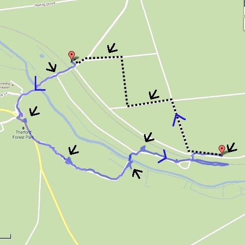
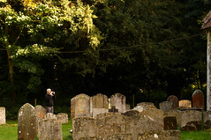
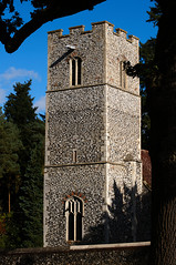
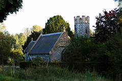
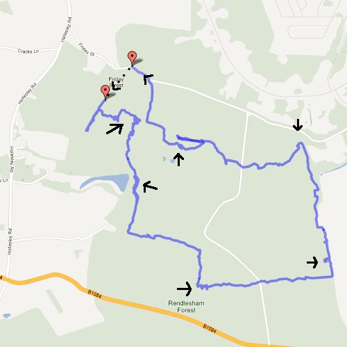
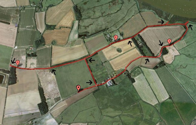
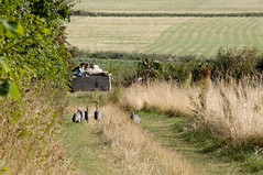
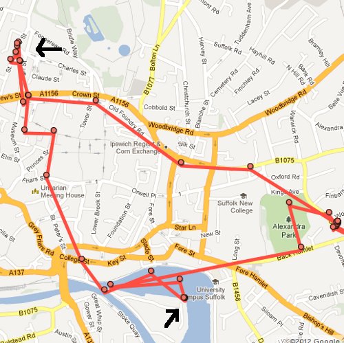
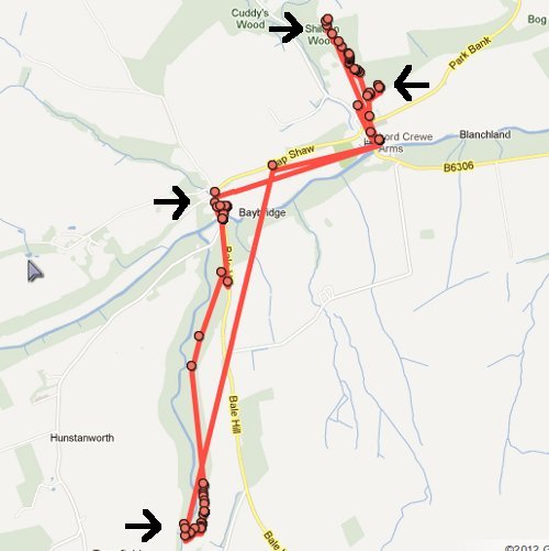
We parked in Santon Downham with the idea that we’d do the circular walk that took in the 11 caches in the Santon Downham set (“Santon Circular 1” etc) and 3 Church Micro caches – a 4.5 mile walk with 14 caches, which seemed like it would work out. In the end though we did about half of the walk, including looking for caches 1, 2, 3, 9, 10 & 11 of the circular set and 2 of the church ones (“Church Micro 1486 – Santon Downham” and “Church Micro 1485 – All Saints Santon”). This truncation was because we spent so long looking for numbers 1 & 2 in the circular walk (and failing to find them 🙁 ) that at about 5pm we decided to cut back towards the car rather than head even further away. It was still half 6 by the time we got there tho! The bit I could record on My Tracks (my battery started to run out part way round) was 3.8 miles so I suspect we still did about 4.5 miles what with the faffing about and the completely wrong turn we took at one point as well.

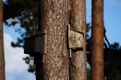
It felt like a disappointing day, but actually we found 6 of the 8 we looked for. The problem was that we started off by not searching for one because there were too many people there (that was actually number 11 and we went back and found that at the very end), then of the next 3 we only found 1 despite spending over an hour looking between the other two. The guy who’d put these caches down was very very good at hiding them – perhaps too good for us. But having said that, we did find all the next ones we looked for – hidden in the ends of sticks or little painted magnetic button sized ones. Well camoflaged. I think we may need to return with reinforcements sometime!

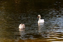
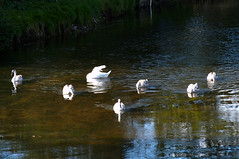
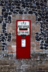
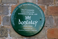
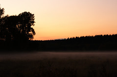
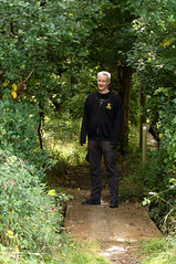
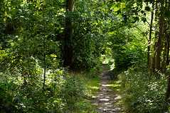
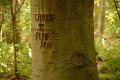
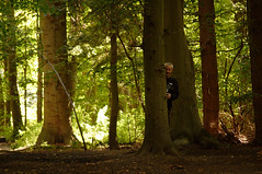
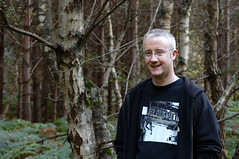
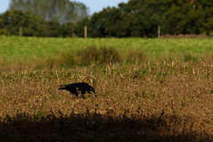
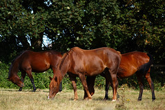
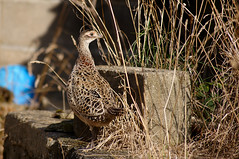
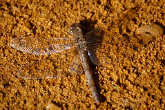
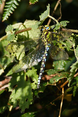
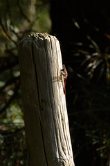
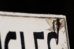
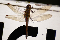
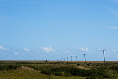
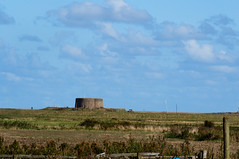
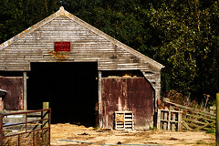
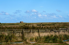
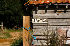
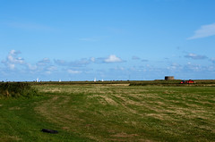
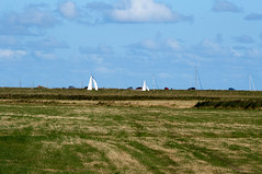
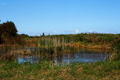
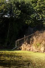
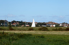
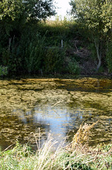
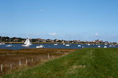
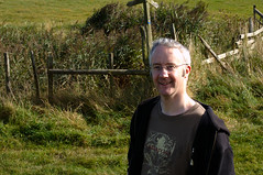
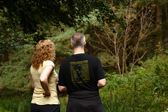
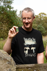
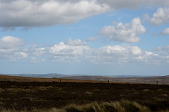
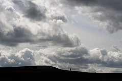
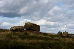
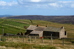
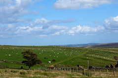
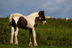
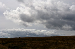
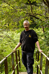
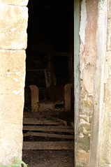
The walk was good, too, although I was a bit cold having misjudged the temperature of the sunny looking day. And I got a few pics 🙂

SwansSwansOld Post BoxSanton Downham, in the Domesday BookSt Marys Santon DownhamSt Marys Santon DownhamSt Marys Santon DownhamSt Marys Santon DownhamSt Marys Santon DownhamSt Marys Santon DownhamSt Marys Santon DownhamRiverAll Saints SantonFlowerGetting DarkGetting DarkAmusing Sign

Adventures in Geocaching, Part 4

Good weather again at the weekend, so we went out on another walk. This time there wasn’t nearly as much wildlife to photograph, because Rendlesham Forest appears to be more visited than Sudbourne Marshes are. But still, got a few photos and another 7 geocaches 🙂

Day 9

I remembered I had the My Tracks app on my phone not long after we set off, so I used that to map where we walked:

day 9 map

The app said it was a 4.5 mile walk (and our pace was slow because we kept stopping to look for the caches). The caches we found were the 6 ones of the Daisys Walk set (“Daisys Walk 1” etc), and “Friday Street” which is the name of the tiny village near where we parked the car. These caches were a bit more hidden than the ones we did around Sudbourne the weekend before, probably because the area is busier and so there’d be more risk of them being stumbled over by people who didn’t know what they were.

JInto the ForestGraffitiBoo!JBirdhouseCrowFungus

Day 10

That wasn’t the only trip out at the weekend – it was about time we took our empty bottles to the tip, so J wanted to reward himself for this virtuousness by going and getting a few more caches. There’s a brand new one near the Tescos at Martlesham (“Cache N Shop!”), and a couple in the woods nearby (“Burnt Tree” and “Fallen Tree”). I didn’t realise there were woods so near that Tescos, and as we walked to the caches there we saw a map & leaflets for a 5 mile circular walk round Martlesham & the surrounding area. (Checked when we got home & there’s not many caches for me to bribe J out on the walk with, but I’d still like to do it at some point – could get the bus out to Tescos then get a pub lunch at the Red Lion halfway round.) And on the way home we also stopped off at Brightwell for the last of the weekend (“Church Micro 2825 – Brightwell”).

Adventures in Geocaching Part 3

At the weekend we took advantage of the nice weather and headed off to a village near Aldeburgh to do a longish circular walk with several geocaches on it. That wasn’t actually our next geocaching trip, we had gone out one evening during the week to look for (and fail to find again) the one in Alexandra Park and also the puzzle one near the Dove (“Speed dating at the Dove” which we found 🙂 And so had a celebratory pint at the pub, coz it’d be rude not to really 😉

Day 8

On Saturday we started off by driving to Aldeburgh and buying ourselves some fish & chips to eat by the sea – Aldeburgh has a very good chippy that’s always very busy, even on a Saturday in September. There’s only one geocache in Aldeburgh itself, “Church Micro 1071 St Peter and Paul Aldeburgh”, so we walked up and got that before heading off to Sudbourne which is a small village on the other side of the river Alde. The walk itself was in the marshes to the east of the village, starting at a farm and heading out towards the river.

map of route

I used gmaps-pedometer to map out the route above, and it tells me it was just short of 4 miles (3.98) so given I guessed at precisely where we parked the car then 4 miles is probably right enough 🙂 We found a big enough layby to park the car that wasn’t the entrance to a field and still had space for other cars to use it as a passing place, then set off on foot. Started at the marker with the central dot, then the mile markers show you which way round the route we went – after picking up the cache just past the 3 mile point we doubled back on ourselves to get to the car. The nine caches were all part of a route called “Sudbourne Marsh 1” etc, and so were all put down by the same person. Who had a knack for hidden but still findable locations – some very clever places which had us searching just long enough to feel a sense of satisfaction when we figured it out 🙂

And I’m convinced this person works in a lab – the tubes used to hold the logs were all fairly recognisable. There was an eppendorf, there were several universals (with blue lids, I’m used to universals having white lids, guess it must be a different brand), and a tube I feel like I ought to recognise but didn’t (Corning branded, bit bigger than a cryovial, something’s niggling at the back of my head but I can’t put my finger on it). I guess my noticing that just goes to show you can take the woman out of the lab, but getting the lab out of the woman is more difficult 😉

It was a good walk, in a really quiet area. We saw a very small handful of other people near the start and end when we were on the roads, but otherwise no-one. Which meant there was a lot of wildlife, including dozens of dragonflies. And quite a lot of startled pheasants (I think they were pheasants anyway).

HorsesPheasant?DragonflyDragonflyOut for a StrollDragonflyDragonflyDragonflyDragonflyDragonflyDragonflyToadToadToad

As you can tell, I took the camera out with me. I’d put the longer lens on it (55-200) before we got out of the car and whilst I lugged the other one around with me in the bag I didn’t want to faff about changing it. I did think at a few times that maybe I should’ve done so, but actually both closeups of insects and the landscapes came out OK (or enough of them did), so that’s OK 🙂

Due to the way the land is – i.e. flat – there were banks built up near the river, to keep the farmland from flooding. That caused an entertaining illusion that there were land boats sailing past the houses in the distance. Well, it kept us amused for quite a while anyway 😉

Middle of NowhereMartello TowerJMade by Browns of IpswichMartello TowerFooTPatHLand Boats and Martello TowerLand BoatsMarshMarshLand BoatsMarshNot Land Boats After AllJ

Adventures in Geocaching, Part 2

We’ve been to find a few caches in Ipswich since coming back from Northumberland, but with a lower success rate. The first trip in Ipswich was a complete failure – we were only looking for one cache, which is in the park near our house. Unfortunately when we got to the rough area of the site we discovered it’s completely overgrown with nettles, and despite J’s best efforts at looking we had no luck at all. J got very stung by the nettles, tho 🙁 (I had a skirt on & bare legs, so didn’t venture into the nettles at all!)

However our next trip was better.

Day 5

map for geocaching day 5

We met up with some of J’s work colleagues (Kerry, Peter, Anna & Adam), near the College, and headed off to find some caches. All three we were looking for were puzzle ones – you have to solve the puzzle on the website to get the actual co-ordinates of the cache (it does give you wrong-but-close co-ordinates to get you to the vague vicinity). I’d not actually done any of the solving myself (to be honest with the geocaching stuff I’m pretty much just along for the ride, it’s a good excuse for a walk and to be sociable). The first one we were looking for was “Ipswich Haven Marina” and we failed with that one 🙁 Peter had been a couple of times before & failed to find it, too. The cache owner got in touch with J and with Kerry after they logged DNFs, so we now know that we do have the right co-ords and that the cache is still there (he checked for us). So another trip another day! (Peter has already gone back and found it, so it’s definitely definitely there 😉 )

The next two were successful! One near the New Wolsey Theatre (“What a Performance”) and one a little way up Bramford Road (“A Cachers Melody”). Both found without much trouble, despite it being dark by the time we got to them.

And after that we headed back into town to get some food, ending up at the Kwan Thai partly by virtue of it still being open at 9:30pm. And partly because it’s a nice resturant 🙂

Day 6

map for geocaching day 6

J and I went back out on Saturday afternoon, and promptly discovered the “Ipswich Haven Marina” cache – not quite sure how we all missed it before, to be honest.

We then (via a coffee in Cafe Nero) headed off to look for “A hard one …” which J and Anna had solved the puzzle for the day before. We searched for quite a while, but in the end had to admit defeat on that one 🙁 We did check the co-ordinates with the cache owner once we got home & apparently we’re right so perhaps it’s vanished or perhaps we just need to look harder!

Adventures in Geocaching, Part 1

J got interested in geocaching, coz some of his work colleagues are into it. So while we were up north for the bank holiday weekend we went to find some caches.

Day 1

map for geocaching day 1

We picked up two caches on our first trip out – “Stonehinge” & “Snow White”, both of which are in Shildon Woods to the north of Blanchland.

Noah is Not Entirely ConvincedI Think It's This Way?Found It!

After lunch we then headed out for another two, “Baybridge Beans” & “Faerie Glen”, which are to the southwest of Blanchland. It was threatening rain, so I didn’t take my camera – just well, because it started to rain when we were about a quarter of the way round the walk and we ended up completely and utterly soaked! Well, all of us except for Noah who had his own little roof (on the carry thingy).

Day 2

map for geocaching day 2

The weather the next day was also pretty miserable, so we drove to 4 round the edges of Derwent Reservoir – “Sheep Rabbits & Water”, “Tree-mendous”, “Cache Hill Stream” and “Sheila’s Tree Cache” (the latter two being in the same rough area). Obviously we drove round, rather than through, the reservoir despite what Google Latitude seems to think we did.

Day 3

map for geocaching day 3

Jo, Chris & Noah went home the next day, but J and I did another batch of caches once they’d gone. First we headed to Hexham, picking up “The Hollybush – Jacobite Rising” on the way.

map for geocaching day 3, in Hexham

And in Hexham itself we found “The Sele” and “Hexham House of Correction”. The latter was in the remnants of a Victorian House of Correction – there’s just one bit of the building left, rather incongrously tucked into a housing estate next to a bus garage.

After we’d got back to Blanchland and had some lunch we headed off on a couple more walks:

map for geocaching day 3, in the hills

The theme for the afternoon appeared to be derelict buildings, first we went up on the moors to Belmount Farm for “Murder Most Foul”.

On Top of the WorldDramatic SkyRock HeapBelmount FarmOn Top of the WorldPonyOnly the Occasional Cow

And then we walked down a steep valley from Hunstanworth and back up the other side to Gibraltar for “Gibraltar (Co. Durham)”. We’ll have to go back there sometime, as we discovered subsequently that J’s Dad has a copy of a photo from when that cottage was inhabited, and that would be a nice thing to leave in the cache for people to see.

On the Way to GibraltarGibraltar CottageGibraltar Cottage

A 100% success rate for our first few trips, not bad 🙂